• Lake Powell Pipeline Biological Resource Survey

    Logan Simpson completed biological resources technical studies for the proposed 225-mile Lake Powell Pipeline. The project included the construction and operation of a buried water pipeline, water intake facility at Lake Powell, surface water storage reservoirs, hydro-electric generation facilities, and transmission lines. The pipeline corridor included federal, state, private, and tribal lands extending from Glen Canyon Dam, Arizona to Cedar City, Utah. Logan Simpson: completed 386 miles of field surveys documenting 16 special-status plant species occurrences of over 350,000 plants; mapped the distribution of 17 species of noxious/invasive weeds; recorded 306 plant taxa; and documented 3,443 polygons representing 556 vegetation associations on 25,000 acres. As alignments shifted, we assessed which rare plants potentially occur and adjusted survey schedules to match phenology of the target plants in target areas to aid in surveys and positive identification. A geospatial database of the vegetation survey results was developed to provide the basis for impact analysis of rare plants, determine mitigation actions, and develop an invasive/noxious species management plan.

  • National Historic and Scenic Trails Methodology, Field Guide, and Training

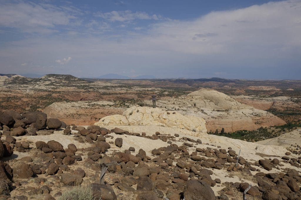
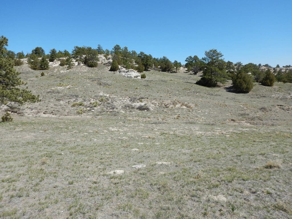
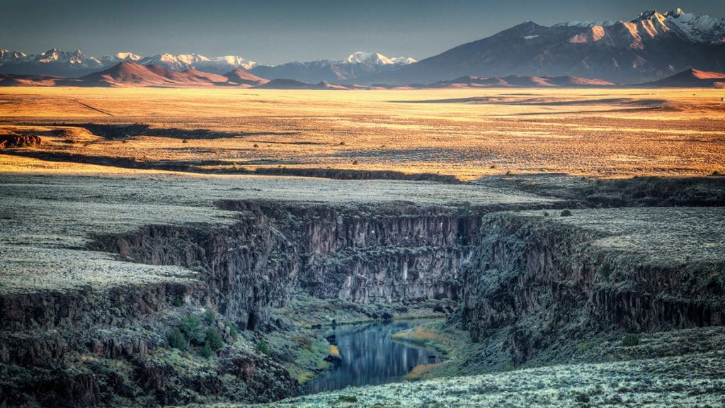
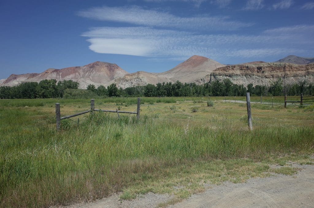
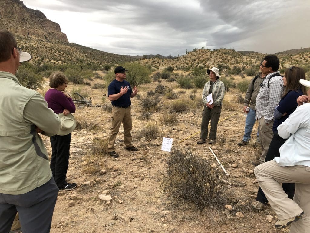
    Logan Simpson’s landscape architects, archaeologists, historic preservationists, biologists, visual resource specialists, and recreation specialists recently worked with the BLM to develop a first-of-its-kind methodology to help inventory, assess, and monitor National Scenic and Historic Trails (NSHTs). Since National Trails often cross multiple administrative boundaries, the BLM purposefully designed the methodology so it could be used by all agencies and organizations who share management responsibilities. This integrated approach provides federal, state, and local agencies and trail organizations with a common framework as they inventory, assess, and monitor each trail’s resources, qualities, values, settings and uses.

    The National Trails Methodology considers four landscape elements―natural, scenic, historic and cultural, and recreation―and how they work together to define the nature, purposes, and uses of a trail. An interdisciplinary team made up of agency decision-makers, technical professionals in each resource area, and members of trail organizations and volunteer groups implements the methodology. Together, they determine how to study the trail—from the locations from which inventory will be conducted to how data will be collected and analyzed, and eventually to how resources will be monitored. Cross-agency participation is encouraged when trails cross jurisdictional boundaries.

    A companion Field Guide and training curriculum provide the step-by-step guidance needed to carry out the methodology. Both the Field Guide and training emphasize the use of existing programs, skill sets, and data standards whenever possible with simple checklists and a standardized monitoring form to ensure consistency across agencies. BLM anticipates that the NSHT Methodology, Field Guide, and Training will be rolled out in early 2020.

  • Grand Staircase Escalante National Monument Visual Resource Inventory

    Logan Simpson is currently working on the final phase of the visual resource inventory (VRI) for the Grand Staircase Escalante National Monument (GSENM), located in south-central Utah. This VRI spans a study area of just less than two million acres, including all public lands with the prior GSENM boundary, as well as almost 40,000 acres of the Kanab Field Office that are located north of the monument’s boundary. The study area includes much of the Escalante River and Paria River watershed, segments of Scenic Byway 12 (Utah’s only All-American Road) and many miles of state scenic byways and back ways. It also encompasses 16 wilderness study areas, 252 miles of suitable wild and scenic river segments, and significant archaeological and historic sites, including a segment of the Old Spanish National Historic Trail, Dance Hall Rock National Historic Site, and the Hole in the Rock State Historic Trail.


  • Visual Resource Inventory of National Historic Trail Segments

    Logan Simpson provided a field inventory program for the Wyoming Military Department that assessed the trail segment and viewshed conditions of approximately 26 miles of the California, Oregon, Mormon Pioneer, and Pony Express National Historic Trails (NHTs) within the administrative bounds of Camp Guernsey, located in eastern Wyoming. The results of this assessment were then carried into NRHP eligibility recommendations for each trail segment. The site condition assessments included detailed in-field archaeological documentation of the disturbances to the trails. Archaeological documentation included inventory, measurements, photographs, and GPS-based mapping; this new data was compared to previously documented trail segments to determine the current condition of the trail sites. In addition, Logan Simpson prepared an archaeological report documenting the history, locations, and current integrity of the trail segments, as well as OAHP site forms. Logan Simpson provided a robust GIS data set of inventory components as well as supporting documentation associated with visual resources, NHT condition assessments by segment, and NRHP eligibility recommendations.

  • BLM Missoula Field Office Visual Resource Inventory

    Logan Simpson completed a visual resource inventory (VRI) for the BLM’s Missoula Field Office encompassing the highly scenic landscapes of western Montana. This inventory area covers nearly 14 million acres, including the Bitterroot Valley and Mountains, Flathead Lake, and Bob Marshall and Scape Goat Wildernesses. The inventory also abuts the world-renowned scenery of Glacier National Park, and includes viewsheds shared by the park. The inventory data will be considered as baseline information as the field office embarks on the development of its resource management plan. Research and public outreach for this project revealed numerous planning documents aimed at protecting scenery and scenic viewsheds—reinforcing the importance that users place on the area’s visual resources. This information was taken into consideration during visual sensitivity ratings, and resulted in well-informed and accurate delineations of differing sensitivities within the field office. Based on the varying topographic features, common presence of water, and variety of vegetation and colors, this inventory has revealed the largest percentage of Class A scenery of any of the VRIs we have completed to date. Vertical mountain ranges, scenic lowlands, large lakes, clear flowing water, and lush vegetation lend to the distinct character of these landscapes, much of which appears as it did when original inhabitants, explorers, and early settlers crossed these lands. The National Historic Trail (NHT) visibility analyses for the Lewis and Clark NHT and Nez Perce NHT that we completed provided additional information for consideration in management of the historic travel that add to the history of the area.

  • Rio Grande del Norte National Monument Visual Resource Inventory

    Logan Simpson completed a visual resource inventory (VRI) for the Rio Grande del Norte National Monument within the BLM’s Taos Field Office in Northern New Mexico. Located within the Taos Plateau geographic formation, the Monument contains varied resources—from numerous natural and geologic resources to abundant heritage and cultural resources. The inventory area covers approximately 310,524 acres of land, approximately 78 percent of which are managed by the BLM. This inventory is currently serving as the baseline visual conditions for considering management of visual resources in land management decisions for the Rio Grande del Norte National Monument Resource Management Plan that is currently under way. This project is unique due to outreach efforts associated with the sensitivity component of the VRI, which included coordination with local tribes to address culturally sensitive landscapes associated with the inventory area.

    The inventory area contains a wide variety of scenic landscapes that have geologically and topographically diverse features, such as distinctive volcanic cinder cone mountains; scenic river canyons; rolling hills; and broad, expansive plains and diverse vegetation such as grassland steppe, riparian, and forested types. Prominent scenic areas within the Monument include the Rio Grande Gorge—which includes the Rio Grande National Wild and Scenic River, Red River Wild and Scenic River, and the Rio Grande Gorge Bridge (High Bridge); the Wild Rivers Zone of the Rio Grande Gorge Special Recreation Management Area; the Taos Valley Overlook; and the Wild Rivers Backcountry Byway.

  • BLM Salmon and Challis Field Offices Visual Resource Inventories

    Logan Simpson is preparing two visual resource inventories (VRIs) encompassing approximately 5.9 million acres within the BLM’s Challis and Salmon field offices in Idaho. The project areas are nestled between the Bitterroot Mountains and the Continental Divide to the east and the Salmon River Mountain Range to the west. These BLM-managed lands hold some of the most ruggedly beautiful landscapes and notable natural and cultural resources in the state of Idaho.


    The VRIs document the scenic quality and visual sensitivity of the area’s outstanding visual, geological, historic, and prehistoric resources including the Jim McClure-Jerry Peak Wilderness Area, the Lewis and Clark National Historic Trail and Salmon River Special Recreation Management Areas, the Herd and Trail Creeks Areas of Critical Environmental Concern, and the Continental Divide National Scenic Trail. In addition to the Continental Divide National Scenic Trail, the project area also contains notable linear scenic platforms such as the Peaks to Craters Scenic Byway, Lewis and Clark Backcountry Byway, and the Sacajawea Historic Byway. The history-filled Sacajawea Historic Byway offers compelling views as well as a wealth of mining and Native American history.


    The project area also contains a portion of the longest free-flowing river in the contiguous United States—the Salmon River, which provides the public with exceptional recreation opportunities including whitewater kayaking, canoeing, rafting, and fishing. Tourism and recreation are major economic engines for the area’s small rural communities who place great significance on protecting historic vistas and special use areas.