• Roundhouse Renewable Energy Project

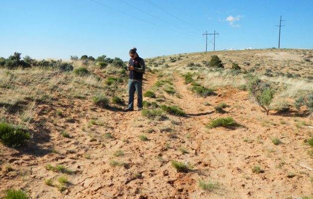
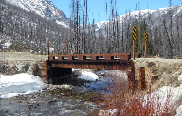
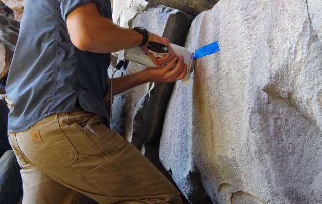
    The Roundhouse Renewable Energy Project included: a Class I literature Review, Class III archaeological survey, mitigation/excavation of a multi-component site, leading cultural resources training for construction personnel, and conducting archaeological monitoring during construction. The linear transmission line consisted of 28 miles of cultural survey that included full documentation of previously recorded and newly recorded archaeological sites within the project area and providing recommendation of their eligibility to the National Register of Historic Places (NRHP). A full Class III survey report was prepared for submittal to the State Historic Preservation Office.

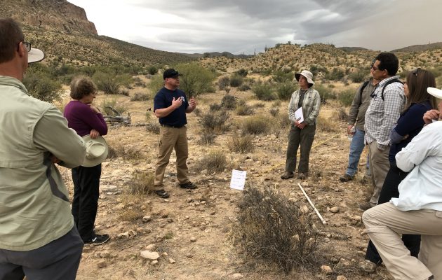
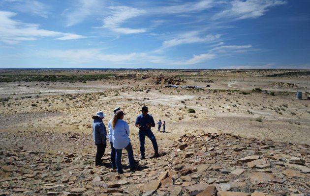
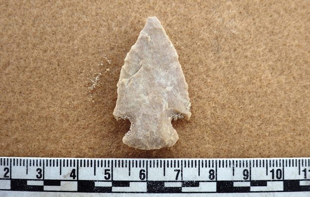
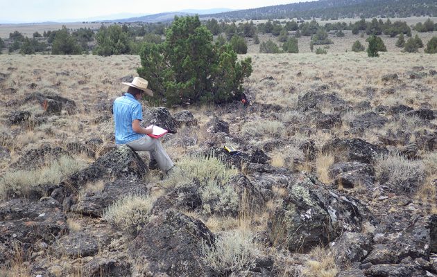
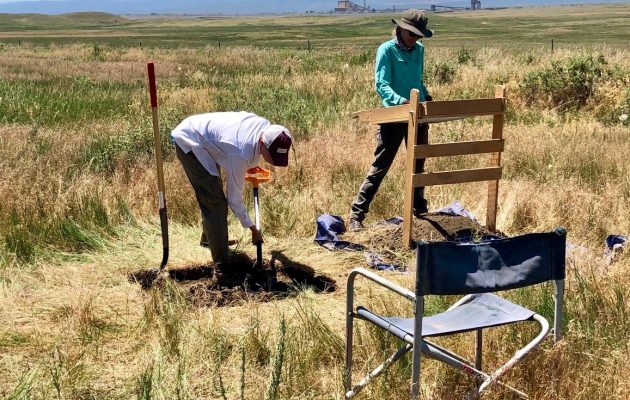
    The survey area encompasses a variety of prehistoric and historic sites. Prehistoric sites included lithic scatters and habitation sites, while historic sites included mining complexes, sheep ranches, and homesteads. After the completion of the cultural survey, the Logan Simpson project manager developed an avoidance and testing plan for nine NRHP-eligible sites in advance of the construction of the transmission line towers. The testing plan included a variety of mitigation techniques including avoidance fencing, monitoring, trenching, test units, diagnostic surface collection and shovel testing. Site mitigation included systematic mechanical trenching, unit excavation and controlled surface collections. Laboratory analysis and curation took place at Colorado State University. The mitigation report is nearing completion, and Logan Simpson provided an archaeological monitor for the project to ensure that NRHP-eligible sites are not disturbed during construction.

  • Montrose City-Wide Historic Resources Survey Plan

    Logan Simpson recently completed a city-wide historic resources survey plan for the City of Montrose, Colorado. The project was funded by a certified local government (CLG) grant provided by the Colorado State Historic Fund and established baseline data and priorities to help guide the wise use of the community’s resources. The creation of this historic resources survey plan overlaps with Montrose’s ongoing efforts to update its 2008 Comprehensive Plan, which will act as the official guide for the city’s strategic planning up to the year 2040. Logan Simpson’s survey plan includes evaluation of existing data, historic context development, limited reconnaissance level survey, descriptions of significant resources and property types, and public outreach. Through these efforts, Logan Simpson identified multiple historic resources for individual and district designations, documented the presence of significant landscapes, streetscapes, viewsheds, and historic and vintage signage, and identified over 25 different architectural styles and forms within City limits. The report also includes a discussion of goals, objectives, and a list of historic preservation priorities ranked in order of importance to be implemented over the next 15 years.

  • National Historic and Scenic Trails Methodology, Field Guide, and Training

    Logan Simpson’s landscape architects, archaeologists, historic preservationists, biologists, visual resource specialists, and recreation specialists recently worked with the BLM to develop a first-of-its-kind methodology to help inventory, assess, and monitor National Scenic and Historic Trails (NSHTs). Since National Trails often cross multiple administrative boundaries, the BLM purposefully designed the methodology so it could be used by all agencies and organizations who share management responsibilities. This integrated approach provides federal, state, and local agencies and trail organizations with a common framework as they inventory, assess, and monitor each trail’s resources, qualities, values, settings and uses.

    The National Trails Methodology considers four landscape elements―natural, scenic, historic and cultural, and recreation―and how they work together to define the nature, purposes, and uses of a trail. An interdisciplinary team made up of agency decision-makers, technical professionals in each resource area, and members of trail organizations and volunteer groups implements the methodology. Together, they determine how to study the trail—from the locations from which inventory will be conducted to how data will be collected and analyzed, and eventually to how resources will be monitored. Cross-agency participation is encouraged when trails cross jurisdictional boundaries.

    A companion Field Guide and training curriculum provide the step-by-step guidance needed to carry out the methodology. Both the Field Guide and training emphasize the use of existing programs, skill sets, and data standards whenever possible with simple checklists and a standardized monitoring form to ensure consistency across agencies. BLM anticipates that the NSHT Methodology, Field Guide, and Training will be rolled out in early 2020.

  • Rawhide Solar Facility Permitting

    Logan Simpson worked with Platte River Power Authority to prepare a 1041 permit application for construction of a 30-MW solar generating facility at the site of the Rawhide Power Plant north of Fort Collins, Colorado.  The project included a survey of the site’s biological and cultural resources and other related investigations. Following hearings by the Planning Commission and Board of County Commissioners, the project was unanimously approved.

  • LiDAR Cultural Resources and Environmental Support

    Rocky Mountain Power uses Light Detection and Ranging (LiDAR) data collected from helicopter flights to measure minimum ground clearance, structural loads, wire sag, and wire tension along their existing electric transmission line network. Lines that pose a safety hazard are then repaired. Many of the lines pre-date environmental and cultural resources regulations such as NEPA, ESA, or NHPA. Logan Simpson helped Rocky Mountain Power navigate relevant regulations while ensuring that construction schedules were not impacted by unexpected environmental or cultural resources issues. Specific tasks included interfacing with federal and state agencies; large-scale literature reviews and due diligence studies to identify potential conflicts; GIS-based mapping, modeling, and database preparation; cultural resources inventories, site recording, and monitoring; and biological tasks like avian surveys, plant surveys, revegetation, and monitoring construction buffers for threatened and endangered species. We also identified construction access roads onto the right-of-way and facilitated the resolution of potential logistical issues that could impede construction.

  • Custer Gallatin National Forest Historic Overview, West Fork Rock Creek Road

    Logan Simpson worked with the Custer Gallatin National Forest to develop a historic context and NRHP evaluation for the West Fork of Rock Creek (WFRC) Road in the Beartooth Ranger District, Montana. Since the end of the nineteenth century, the scenic, 15-mile-long WFRC Road has been a transportation corridor for homesteaders, recreationists, and entrepreneurs. The purpose of the project is to mitigate adverse effects to the WFRC Road and its associated historic properties from a reconstruction project. Logan Simpson reviewed records and other materials, including oral history transcripts, historic maps, and NRHP nominations, to revise an existing overview and context for the road. The revisions addressed the Forest Service’s comments on the draft; added descriptive data for historic resources present within the corridor; provided photographs and figures to supplement the text; and re-formatted the context to align with NPS guidelines for historic contexts. Logan Simpson also rewrote the statement of significance of the WFRC drainage and updated the existing nomination for the individually-eligible ca. 1906 Rock Creek Ranger Station, the only Forest Service administrative site known to have existed in the WFRC corridor.

  • Navajo Gallup Water Supply Project Programmatic Agreement Program Management

    Logan Simpson recently completed the fifth year as the  programmatic agreement program manager (PAPM) for the Navajo-Gallup Water Supply Project  (NGWSP) in northwest New Mexico and northeast Arizona. We are responsible for providing independent monitoring and review of BOR’s compliance with the NGWSP PA. Major tasks include assisting BOR with tribal consultation, report review, report distribution, and maintaining lines of NGWSP-related communication. Tribal consultation includes assisting members of 14 tribes with field visits to archaeological sites and traditional cultural properties, regularly updating tribes on NGWSP activities, and ensuring that tribes have opportunities to contribute to the decisions regarding the treatment of cultural resources. Logan Simpson has facilitated 15 PA workgroup meetings and has assisted BOR with review of cultural resources documentation for 21 construction reaches. In addition the Logan Simpson has assisted BOR with presentations to tribal councils and cultural advisory boards and with the development of an amendment to the PA drawing upon our experience drafting agreement documents for other agencies. Most recently, Logan Simpson successfully facilitated the development of a tribal monitoring program that will complement archaeological monitoring during project construction. We are currently drafting a “best practices” manual for cultural resources compliance and consultation for complex construction projects such as the NGWSP.  We were recently reselected and will continue our role as the PAPM for the next five years.

  • Dugway Proving Ground Air Force Use Areas Site Recording

    The US Army Dugway Proving Ground requested that Logan Simpson record sites left unrecorded by a previous consultant. We used the previous consultant’s preliminary data (more than 200 GPS points) to locate cultural resources and determine site boundaries. Three sites were defined in the Northern Area and four sites were recorded in the Southern Area. We also prepared National Register recommendations for each site. The Northern Area is covered by a large, extensive dune field. Dunes contain a variety of food resources, were seasonally occupied by prehistoric peoples for several millennia, and these repeat visits often result in dense, sprawling sites. One site—known as the Eleanor site—covered more than 220 acres and contained thousands of prehistoric artifacts associated with the Formative period. The Southern Area is on the playa left by the regression of Lake Bonneville. Several large sites associated with the Paleoarchaic period—the oldest known human occupations in the Americas—were recorded in this area. One of the Paleoarchaic sites, affectionately termed The Beast, covered 360 acres and contained more than 800 Stemmed projectile points. We also used our field-portable XRF spectrometer to source obsidian artifacts, which, because artifacts don’t need to be collected and can be sourced in the field, offered Dugway a value added service. The project presented several challenges, including working in varying environmental conditions; recording several large, unique sites; and coordinating safety and access with Dugway’s Range Control. However, our experience at Dugway and our experience documenting large, complex sites allowed us to plan for these complications and complete all work within schedule.

  • Vya B and C Juniper Treatment Projects Cultural Resources Inventory

    The BLM Surprise Field Office conducted the Vya B and C projects in Modoc County, California and Washoe County, Nevada. The project will reduce juniper densities resulting in less intense wildfires and higher quality habitat for sage-steppe obligates. Logan Simpson conducted two inventories, one in 2014 and one in 2015, and a total of 7,020 acres were inventoried. Fieldwork resulted in 169 sites. The majority of sites were associated with the prehistoric period and included large lithic scatters, quarry sites, and sites containing rock stacks or cairns. A high number of rock art sites were also recorded; many of these included dozens of panels, hundreds of images, and numerous types of designs and motifs. Several specialized methods were used to document and assess the rock art sites, such as detailed photography, mapping, and assessments of viewshed. All of the inventory areas were in remote, rugged areas and we practiced remote camping to ease travel time to and from the areas, used our ATVs where feasible, and staffed a right-sized crew to expedite fieldwork. We also followed a defined Safety Plan to insure that no safety incidents occurred.

  • Pictograph Cave National Register Evaluation and PXRF Sourcing

    The BLM Prineville District hired Logan Simpson to evaluate the Pictograph Cave site for the NRHP. The site is in south-central Oregon and includes prehistoric pictographs, or painted elements, and petroglyphs (incised images). The site was discovered in 1938 by well-known archaeologist Luther Cressman and has been revisited several times—though none of these resulted in an NRHP determination. Additional tasks included updating the site record, preparing a report, and making management recommendations. Logan Simpson owns a portable x-ray fluorescence (PXRF) analyzer, which is a unique asset, and as a value-added service we used PXRF to analyze the pictographs. We teamed with Dr. Bruce Kaiser—inventor of the Bruker PXRF system and renowned researcher in nuclear physics—to conduct the PXRF studies. PXRF determined the mineral composition of pigments; helped infer pigment preparation and application techniques; and identified the work of different artists and painting events. The analysis found that the pictographs were made with berry juice; previous studies have found that pictograph pigments are often made from minerals, such as red ochre, and the use of berries at the Pictograph Cave site is unexpected.

    Our use of innovative technology offered BLM an additional research avenue and added to the archaeological record of Oregon.