• Lake Powell Pipeline Biological Resource Survey

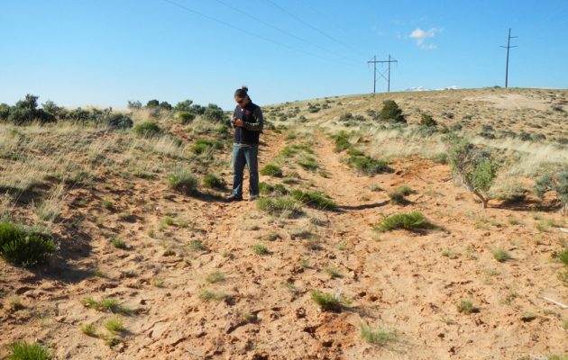
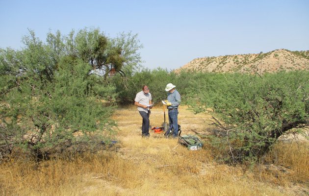
    Logan Simpson completed biological resources technical studies for the proposed 225-mile Lake Powell Pipeline. The project included the construction and operation of a buried water pipeline, water intake facility at Lake Powell, surface water storage reservoirs, hydro-electric generation facilities, and transmission lines. The pipeline corridor included federal, state, private, and tribal lands extending from Glen Canyon Dam, Arizona to Cedar City, Utah. Logan Simpson: completed 386 miles of field surveys documenting 16 special-status plant species occurrences of over 350,000 plants; mapped the distribution of 17 species of noxious/invasive weeds; recorded 306 plant taxa; and documented 3,443 polygons representing 556 vegetation associations on 25,000 acres. As alignments shifted, we assessed which rare plants potentially occur and adjusted survey schedules to match phenology of the target plants in target areas to aid in surveys and positive identification. A geospatial database of the vegetation survey results was developed to provide the basis for impact analysis of rare plants, determine mitigation actions, and develop an invasive/noxious species management plan.

  • Community Wildfire Protection Plans

     The wildland urban interface (WUI) is the area where homes are built near or among lands prone to wildland fire. These areas have become more popular for homeowners for their privacy, natural beauty, recreational opportunities and affordable living. As a result, rural fire districts are more often having to fight fire and protect homes and property within these WUI areas. Logan Simpson developed the first two CWPPs in Arizona for the at-risk communities of the Apache-Sitgreaves National Forest that complied with Title I of the Healthy Forests Restoration Act of 2003 (HFRA). We facilitated the collaboration among Federal, state, and local partners as well as Native American tribes to developed these two CWPPs and established priorities to reduce the risks to communities and surrounding lands. Subsequent to these first two CWPPs, Logan Simpson developed 20 CWPPs, analyzed over 31 million acres, and gathered input from over 300 communities across multiple states.

  • National Historic and Scenic Trails Methodology, Field Guide, and Training

    Logan Simpson’s landscape architects, archaeologists, historic preservationists, biologists, visual resource specialists, and recreation specialists recently worked with the BLM to develop a first-of-its-kind methodology to help inventory, assess, and monitor National Scenic and Historic Trails (NSHTs). Since National Trails often cross multiple administrative boundaries, the BLM purposefully designed the methodology so it could be used by all agencies and organizations who share management responsibilities. This integrated approach provides federal, state, and local agencies and trail organizations with a common framework as they inventory, assess, and monitor each trail’s resources, qualities, values, settings and uses.

    The National Trails Methodology considers four landscape elements―natural, scenic, historic and cultural, and recreation―and how they work together to define the nature, purposes, and uses of a trail. An interdisciplinary team made up of agency decision-makers, technical professionals in each resource area, and members of trail organizations and volunteer groups implements the methodology. Together, they determine how to study the trail—from the locations from which inventory will be conducted to how data will be collected and analyzed, and eventually to how resources will be monitored. Cross-agency participation is encouraged when trails cross jurisdictional boundaries.

    A companion Field Guide and training curriculum provide the step-by-step guidance needed to carry out the methodology. Both the Field Guide and training emphasize the use of existing programs, skill sets, and data standards whenever possible with simple checklists and a standardized monitoring form to ensure consistency across agencies. BLM anticipates that the NSHT Methodology, Field Guide, and Training will be rolled out in early 2020.

  • Rawhide Solar Facility Permitting

    Logan Simpson worked with Platte River Power Authority to prepare a 1041 permit application for construction of a 30-MW solar generating facility at the site of the Rawhide Power Plant north of Fort Collins, Colorado.  The project included a survey of the site’s biological and cultural resources and other related investigations. Following hearings by the Planning Commission and Board of County Commissioners, the project was unanimously approved.

  • Desert Tortoise Surveys

    Logan Simpson conducted desert tortoise surveys and provide data and a final report to BLM for three BLM land parcels added to the Las Vegas Field Office. To comply with federal environmental laws, the LVFO tasked Logan Simpson with collecting endangered species survey data. The 5,400 acres were surveyed according to BLM and USFWS standards and protocols. Tasks included performing a project assessment using the 2009 USFWS publication key to determine survey requirements for the project area, and submit a survey plan to LVFO for review, conducting surveys during the desert tortoise active season using 2009 USFWS published protocols, and finally providing LVFO with a final report and all survey data.

  • LiDAR Cultural Resources and Environmental Support

    Rocky Mountain Power uses Light Detection and Ranging (LiDAR) data collected from helicopter flights to measure minimum ground clearance, structural loads, wire sag, and wire tension along their existing electric transmission line network. Lines that pose a safety hazard are then repaired. Many of the lines pre-date environmental and cultural resources regulations such as NEPA, ESA, or NHPA. Logan Simpson helped Rocky Mountain Power navigate relevant regulations while ensuring that construction schedules were not impacted by unexpected environmental or cultural resources issues. Specific tasks included interfacing with federal and state agencies; large-scale literature reviews and due diligence studies to identify potential conflicts; GIS-based mapping, modeling, and database preparation; cultural resources inventories, site recording, and monitoring; and biological tasks like avian surveys, plant surveys, revegetation, and monitoring construction buffers for threatened and endangered species. We also identified construction access roads onto the right-of-way and facilitated the resolution of potential logistical issues that could impede construction.

  • BLM Assessment, Inventory, and Monitoring (AIM) Strategy

    Logan Simpson recently conducted field data collection to assist the BLM Safford Field Office with a pilot project implementing the BLM’s AIM Strategy in the Southeast Arizona Focal Area. The inventory work was conducted at 50 monitoring plots. Terrestrial data was captured electronically using the Database for Inventory, Monitoring and Assessment and provided to BLM to incorporate into its nationwide database. To assure collection of the highest-quality data, Logan Simpson’s team of biologists, botanists, soil scientists, and rangeland resource specialists attended an official week-long AIM training provided by BLM. Prior to conducting field work, we printed an aerial photo of each plot to use as the plot map. To ensure the best chance of identifying unknown plants, we instituted a standard collection procedure to allow identification later. We took photos, including an object to show scale. We also collected a portion of the plant, with flowers and/or fruit when available, and mounted the specimen in our field herbarium notebook with a detailed label.